
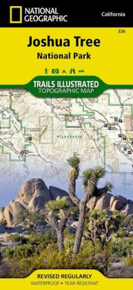
National Geographic Trails Illustrated Map Joshua Tree National Park
- Topographic Map, Waterproof. Tear-resistent
- Karte,
- Rev.,
- National Geographic Maps
- (2012)
16,95 €
inkl. MwSt.
versandkostenfrei
In Kürze wieder lieferbar.
Joshua Tree Nationalpark inkl. Nexie Mountains, Lost Horse Valley, Quail Springs Historic Trail, Black Rock Canyon, Hidden Valley, Pinto Basin, Chuckwalla Valley, Cottonwood Mountains, Pinto Mountains, Cottonwood Spring Nature Trail National Geographic's Trails Illustrated Maps are the most detailed and up-to-date topographic recreation maps available for US National Parks, National Forests and other popular outdoor recreation areas. A necessity for exploring the outdoors, each map is printed on ...
Weiterempfehlen:
DETAILS
Topographic Map, Waterproof. Tear-resistent
Titelnr.: 39350727
Gewicht: 94 g
Bewertungen (0)
Jetzt bewerten